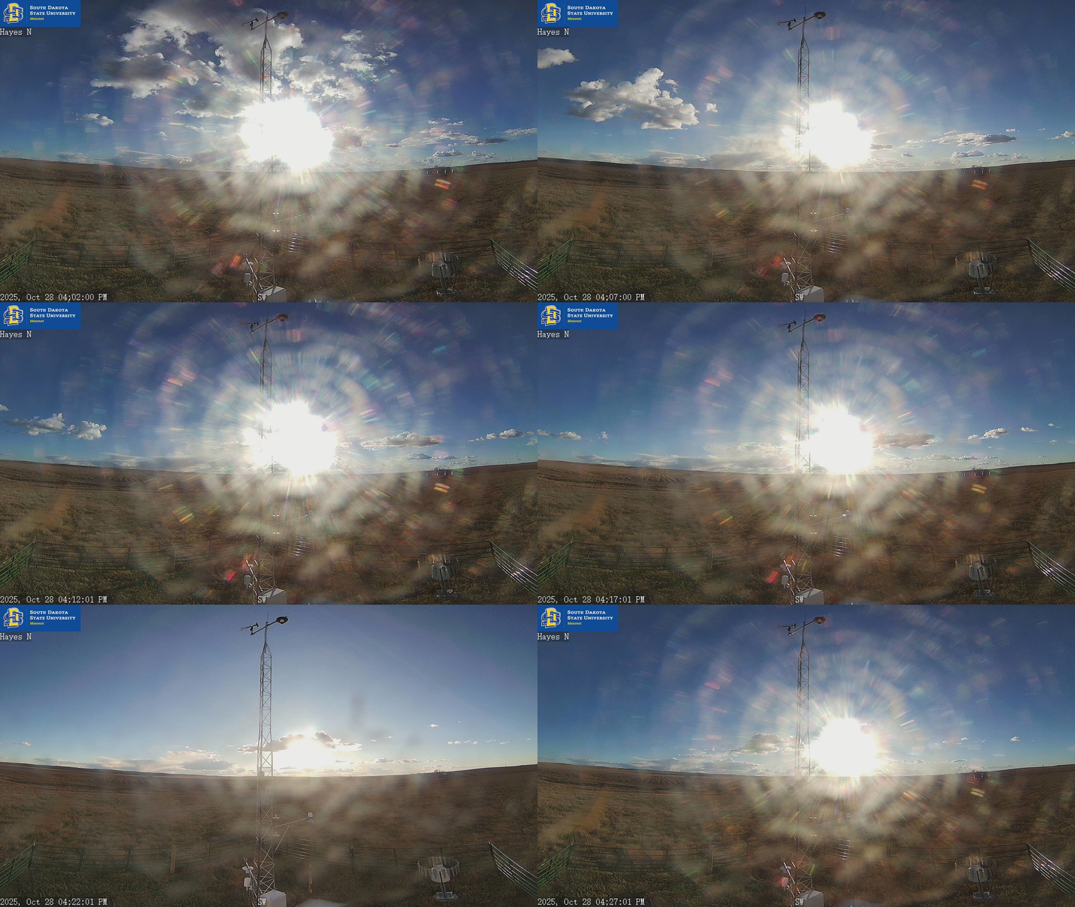
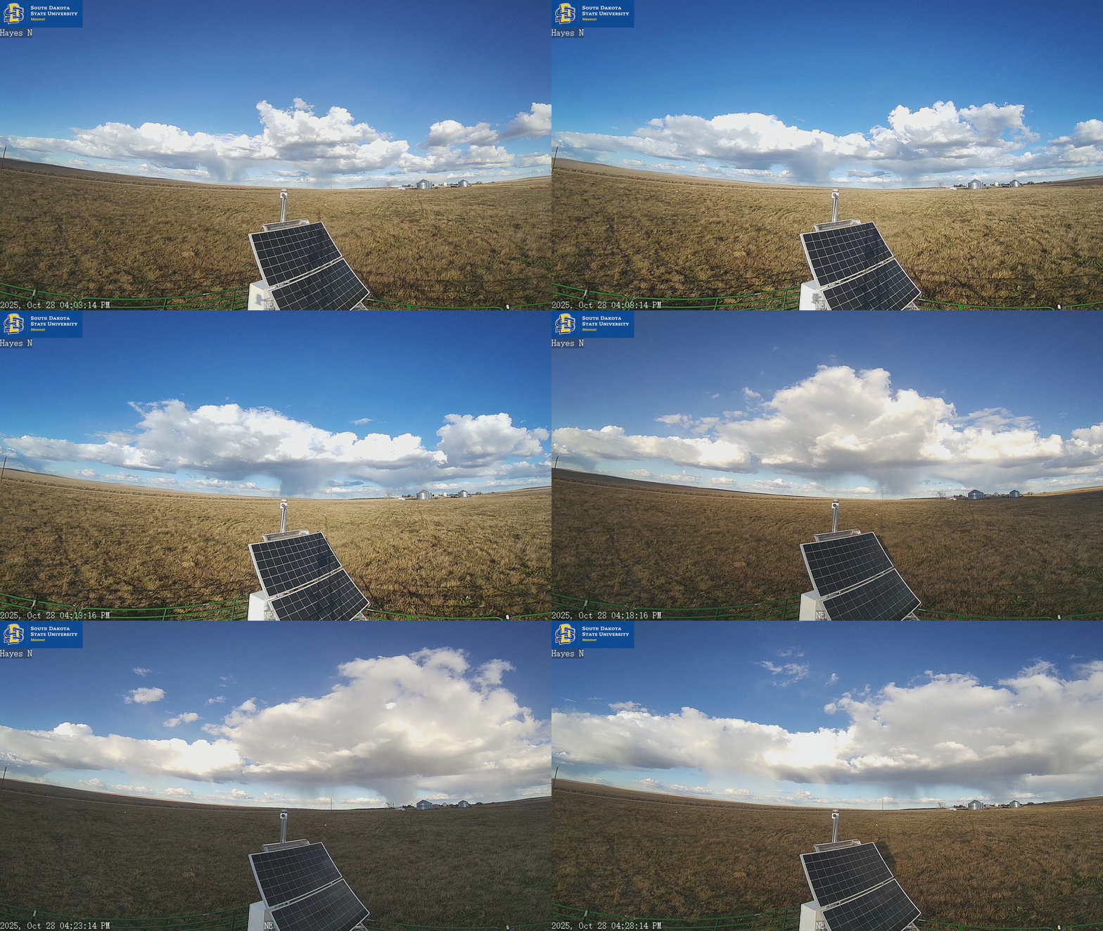
Data and still images update every 5 minutes. Loops update every 30 minutes.
This station made possible byé čha lé kayéžu
US Army Corps of Engineers
About Mesonet in Lakota
The Mesonet’s most important weather reports are available in the Lakȟótiyapi
(Lakota language) of Oceti Šakowiŋ, the official indigenous language of South Dakota. Lakota words are specially marked.
Click for audio (Lakota and English translation).
Hover for text (English translation).
Links at the bottom of the page (English | Lakȟótiyapi) toggle languages.
This project was made possible by a grant from South Dakota State University Wokini Initiative.